Biking and Hiking in Brewster
Biking on the Cape Cod Rail Trail
Walk, run, bike or rollerblade along 25 miles of scenic paved paths where train tracks once carried passengers and supplies to local Cape Cod destinations. The trail stretches from Dennis to Wellfleet, winding past Brewster’s forests, cranberry bogs and ponds. In East Brewster, the trail intersects with an additional eight miles of bike trails in Nickerson State Park.
In Brewster there are numerous places to get on the trail: the intersection of Route 137 and Underpass Road features a parking area and convenient access. Explore the Rail Trail Extension through Harwich to Chatham, ending at Depot Road. Maps of the Trail are available in the Information Center, located at 2198 Main Street in Brewster’s Town Hall and open daily from June 1 – September 4, 2016 9:00 AM – 3:00 PM.
Walking and Hiking
Along Historic Old King’s Highway (Route 6A, Main Street) sidewalks line the street from Robin’s Wood in East Brewster to Stony Brook Road, gently winding along under the canopy of trees that line the roadway. During the summer this sidewalk is active all day long with people walking (with or without their leashed dog) or jogging.
Punkhorn Parklands in West Brewster is over 800 acres of conservation land owned by the Town of Brewster with wooded trails that pass by lakes, ponds and marshes. It begins at the end of paved Run Hill Road. There are miles of great trails, so wear your hiking boots.
Nickerson State Park has 1900 acres managed by the MA Department of Conservation and Recreation (DCR). There are eight miles of roads, hiking trails, and bike trails that connect to the Cape Cod Rail Trail, weaving through the woods past eight fresh-water kettle ponds in the Park. Download maps of the Park at http://www.mass.gov/eea/agencies/dcr/massparks/region-south/nickerson-state-park.html. And download the free Mass Parks Pocket Ranger app for your cell phone!
The Town of Brewster and the Brewster Conservation Trust has established eight (8) Pathways within conservation lands (please note all distances are round trip):
- Mother’s Bog (2.25 miles): Satucket Road to Slough Road heading south 0.8 miles to the BCT sign.
- Quivet Marsh Vista (0.2 mile): 341 Main Street 0.9 miles from Drummer Boy Park.
- John & Kristi Hay Trail (0.6 mile): across from Drummer Boy Park through the Stony Brook Valley.
- Lee Baldwin Trail (South Trail) (1.0 mile): enter in the parking lot across Route 6A from the Cape Cod Museum of Natural History.
- Eagle Point (0.5 – 1.0 mile): Stony Brook Road onto Run Hill Road for 1.2 miles.
- Eddy Sisters Trail (0.5 mile): Route 6A to Lower Road 1.5 miles to the Community Garden.
- Eddy Bay Trail (1.0 mile): Route 6A to Lower Road 150 yards past Community Garden.
- Crosby Landing (1.0 mile): Route 6A to Crosby Lane ¼ mile to the West entrance to Nickerson State Park; park at the Crosby Mansion.
- Huckleberry Hill (2.5 miles): Route 6A entrance to Nickerson State Park, take the first left onto Flax Pond Road; park just before the end of the road on the shoulder.
The Best of Brewster
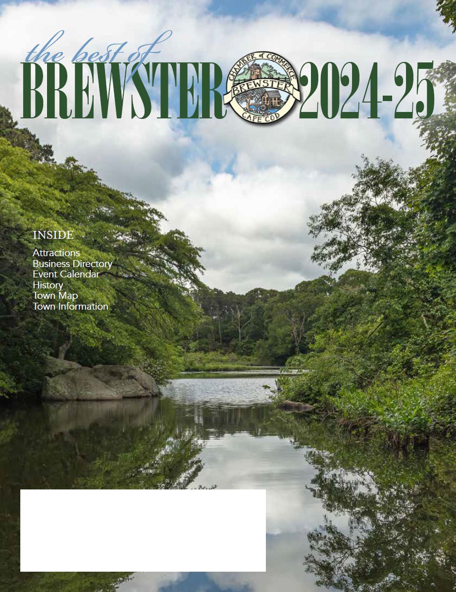 View the Best of Brewster 2024-25 Magazine
Local Weather
part of the c4.net network.
Tides
Cape Cod tides and currents are provided by CapeTides.com, a part of the c4.net network. Visit CapeGuide.com for information about Cape Cod, Martha's Vineyard, & Nantucket.